The
Busuanga Island is located at the northernmost
part of the province of the Palawan. It has a total land area
of 52,478 hectares. However, the Yulo King’s Ranch covers
more than half of the total land area. Population as of mid-1990's
was 15,843.
Approximate travel time from Puerto Princesa City, the provincial
capital, is half-day by sea and one-and-a-half hour and by air
covering 212.8 nautical miles or approximately 394 kilometers.
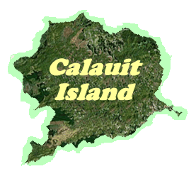
Calauit Island, the place where the Calauit
Game Preserve and Wildlife Sanctuary lies, is located at the
northwest tip of Busuanga, Palawan. There is a place there which
they called Sanctuary. It is separated from the mainland by
a wide belt of dense mangrove on the western side of Illutuk
Bay.
The
area has undulating topography ranging from narrow coastal plains
through widespread grasslands to low ranges of hills which stretch
across the land from northeast to southwest, with altitudes
up to 175 metres or 574 feet.
Getting
there is possible by vehicle or by foot. Small rivers and creeks
abound on the island, although most of these water sources dry
up during hot months and brings back again during rainy season.
Some springs provide whole-year supply of water in ponds and
lagoons in the island.